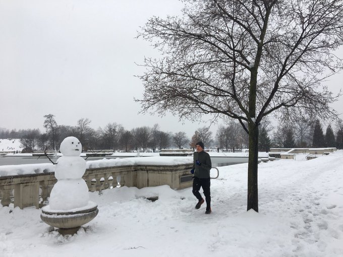
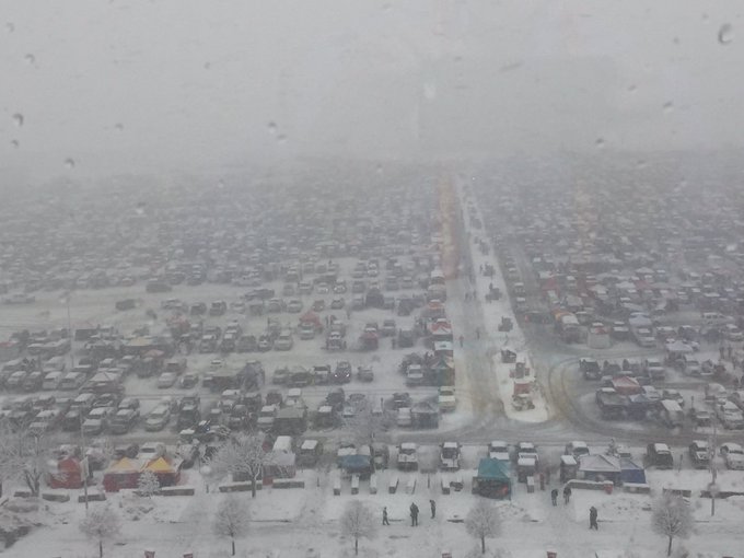
Fun in the snow at @forestparkforever. #runstl #running #stl #stlouis #winter
Winter Storm Gia Is Spreading Heavy Snow and Ice From the Midwest to the East This Weekend
An area of low pressure is tapping into cold air from Canada as it tracks eastward through the South this weekend. There will be accumulating snow and some ice along and to the north of where the low tracks.
Snow continues to fall from Missouri and Iowa eastward into northern Virginia, Maryland, southern Pennsylvania and northern North Carolina. Some areas are seeing freezing rain and sleet mix in in parts of southern Ohio into Kentucky, western North Carolina and extreme northeastern Georgia.
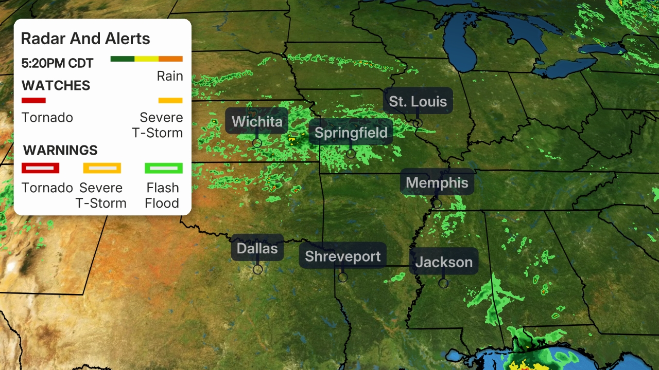
A stretch from Columbia to the St. Louis metro area has received 10 to 20 inches of snow while the city has reported 11.4 inches as of 5 p.m. CST Saturday. Gia is one of St. Louis’ top 10 snowiest events.
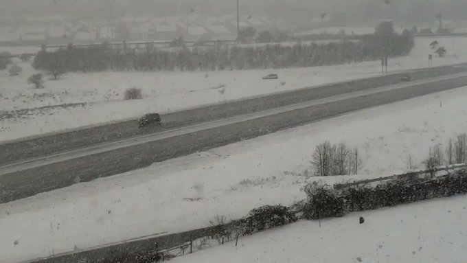
The snow was not all snow people and jogging though. It also brought traffic to a standstill in the St. Louis metro area Friday evening into Saturday morning and accidents were reported due to snowfall and slick roads. Ice accumulation also downed trees and power lines in parts of south-central Missouri.
(Latest Gia News: 5 Dead, Thousands Without Power)
Indianapolis reported snow beginning around midnight and 4 inches of snowfall has been measured at the Indianapolis International Airport as of 4 p.m. EST.
Heavy snow has also blanketed most of Ohio through the afternoon, including Columbus where a few inches has fallen.
Snow continues to spread into the mid-Atlantic, including Washington D.C although road temperatures in the district have remained near or above freezing, which has allowed roads to stay clear.
Winter Weather Alerts
Winter storm warnings have been issued from Iowa and Missouri to southwestern Ohio. Warnings have also been issued in parts of the Virginias, southern Maryland and North Carolina. Metro areas that are included in warnings include St. Louis, Indianapolis, Cincinnati, Washington D.C., Baltimore, Roanoke and Greensboro. These areas are the most likely to see dangerous travel conditions and heavy snow and/or ice.
Winter weather advisories stretch from Kansas to southern New Jersey and northeastern Georgia, including Des Moines, Louisville and Charlotte. These areas should expect conditions that may lead to periodic travel delays, including blowing snow, falling snow and slick roadways.

(From the National Weather Service.)
Here is our latest thinking on what to expect from Winter Storm Gia.
Snow, Ice Timing
Through Saturday Night
- A swath of accumulating snow will extend from eastern Missouri through central and southern Iowa, Illinois, Indiana, Ohio, West Virginia, southern Pennsylvania, Virginia, Maryland, Delaware and western North Carolina.
- Saturday night, snow will continue across most of this area while expanding into other parts of North Carolina, Virginia and into southern New Jersey.
- Parts of the central and southern Appalachians as far south as southwestern North Carolina and the adjacent Piedmont could see a wintry mix of snow, sleet and freezing rain.
- Impacted Cities: Cincinnati | Indianapolis | Roanoke, Virginia | Washington D.C. (late Saturday/overnight)
(The green shadings depict where rain is expected. Areas that are shaded blue are expected to see snow. Purple-shaded locations may see either rain or snow. Areas in pink are expected to see sleet or freezing rain (ice). )
Sunday-Sunday Night
- Snow is likely to linger from parts of the Ohio Valley eastward into West Virginia, the Delmarva Peninsula and possibly in southern New Jersey.
- A mix of snow, sleet and freezing rain is possible as far south as western and north-central North Carolina depending on how much cold air is able to drive southward along the eastern side of the Appalachians.
- The storm will then slide far enough off the Coast Monday to keep any snow from spreading up the East Coast.
- Impacted cities: Baltimore | Richmond, Virginia | Washington D.C. | Cincinnati

(The green shadings depict where rain is expected. Areas that are shaded blue are expected to see snow. Purple-shaded locations may see either rain or snow. Areas in pink are expected to see sleet or freezing rain (ice). )
Snow and Ice Forecast
- A broad area running near and on either side of Interstate 70 from the mid-Mississippi Valley, Ohio Valley and mid-Atlantic should see at least a few inches of additional snowfall.
- The heaviest additional snowfall is expected in an area from eastern West Virginia into northern and central Virginia, southern Maryland and central Delaware.
- Winter Storm Gia may bring one of the heaviest 2-day snowfall events on record to the city of St. Louis.

(The majority of the accumulating snow from this storm will fall near and either side of the Interstate 70 corridor from Colorado to the mid-Mississippi Valley, Ohio Valley and mid-Atlantic.)
- Some sleet or ice accumulations are likely in the central and southern Appalachians and adjacent Piedmont of southern West Virginia, western and central Virginia, western and northern North Carolina, and perhaps into parts of upstate South Carolina and extreme northeast Georgia.
- Ice accumulations in these areas will likely make untreated roads, especially bridges and overpasses, hazardous.
- Some areas may see enough ice accumulation to trigger power outages and some tree damage, but a widespread, damaging ice storm is not expected.
- The hardest hit areas by ice look to be in northwestern North Carolina and southwestern Virginia.
(Ice accumulations of at least 0.25 inch can lead to some tree damage and power outages, in addition to making most roads treacherous.)
Winter Storm Gia Recap
Gia was named late afternoon on Jan. 10 as the number of people in winter storm warnings surpassed 2 million, the population criteria used to trigger naming this winter storm. The amount of people in warnings at one point surpassed 30 million.
Gia developed in the southern Rockies and southern Plains as a surface low pressure system met cold arctic air over the northern tier of the country. Snow first developed in the higher terrain of northern New Mexico late on Jan. 10, with snow soon following in Colorado and southeastern Wyoming.
Snow began in Denver on the morning of Jan. 11, and while the airport reported only an inch of snowfall, much of the Denver metro areas saw 2 to 5 inches. Much higher totals were reported in the higher terrain west and southwest of Denver, including up to 18 inches near Shaffers Crossing, Colorado.
As the low pressure system departed from the Rockies, it also was able to interact with colder air and ample moisture from the gulf of Mexico. Snow spread from the Front Range of Colorado eastward across the Plains, into the Ozarks and the Midwest.
Moderate to heavy snow snarled Friday evening commutes in St. Louis, and to a lesser degree in Kansas City on Jan. 11.
Kansas City picked up generally 4 to 10 inches fell between Jan. 11-12. The Kansas City International Airport reported 4.1 inches, but it picked up some of the least amounts of snow in the metro area.
The snow didn’t seem to stop fans from piling into Arrowhead Stadium before the big game.
Here are a few selected snowfall totals as of early evening Saturday:
- Arkansas: 0.2 inches ice in Kingston
- Colorado: 18 inches near Shaffers Crossing; 1 inch in Denver
- Illinois: 14 inches in Jacksonville; 9.6 inches in Peoria; 1.9 inches in Chicago
- Indiana: 5.6 inches in Shamrock Lakes; 5 inches in Kokomo; 4 inches in Indianapolis
- Iowa: 14.5 inches near Udell; 10 inches near Shenandoah and Bedford
- Kansas: 12 inches in Saint Peter; 10.5 inches in Garden City; 9 inches near Amy
- Kentucky: 3.1 inches near Henderson
- Missouri: 20 inches in Montgomery City; 15.9 inches near Columbia; 10.1 inches in St. Louis; 4.1 inches in Kansas City; 0.1 inch ice in Ava and Norwood
- Nebraska: 14 inches in Sterling; 13 inches in Nebraska City; 6 inches near Lincoln
- New Mexico: 12 inches near Talpa; 11 inches in Taos
- Ohio: 6 inches in Camden; 3.2 inches near Centerville; 2 inches in Cincinnati
- Oklahoma: 2.5 inches in Beaver
- Virginia: 1.5 inches near Whitetop
- Wyoming: 1.3 inches in Glenrock

